About us – authors of portal for generating maps
Experience
We are university graduates operating as professional cartographers since 1978 and 1987. Wydawnictwo Kartograficzne Polkart was established in 1989, and Kartpol – in 1991. We have developed thousands of tourist maps, city maps, wall-mounted and road maps, many thematic and general atlases, and thousands of maps for school atlases and schoolbooks. We work using the world’s most modern cartographic software. You can take a look at our achievements by visiting Polkart’s website; you can also find opinions about the company there.

Portal and its creators
Our mission is to make sure that people from worldwide have immediate access to reliable maps. We consider up-to-date and content-rich maps tailored to actual needs in terms of geographic reach, content scope, graphic style, size, and saving format. We believe that maps will improve the quality of people’s lives. Maps make it easier to build local communities and change the world for the better. What we offer is intended to be inclusive – the website, the process and, above all, created maps.
Our mission is also to promote good practices in cartography and consolidate the achievements of global cartography by using the best cartographic methods and making methodically correct maps. It is important to us to fill the gap concerning covering the Earth with good maps, i.e. areas for which it is not profitable to publish maps edited manually by traditional cartographic publishers. However, we do not intend to replace them and compete with them.
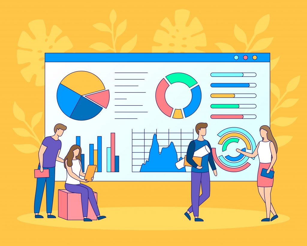
Our vision focuses on creating an online portal for automatically generating map on demand; engaging the best scientists in the field of cartography and geography in the project; using the best cartographic software in the world and the best, constantly developed and supplemented open spatial database – OpenStreetMap®; creating a portal that relieves the client’s burden involving the process of drawing map, and instead providing the complete, globally unique personalisation.
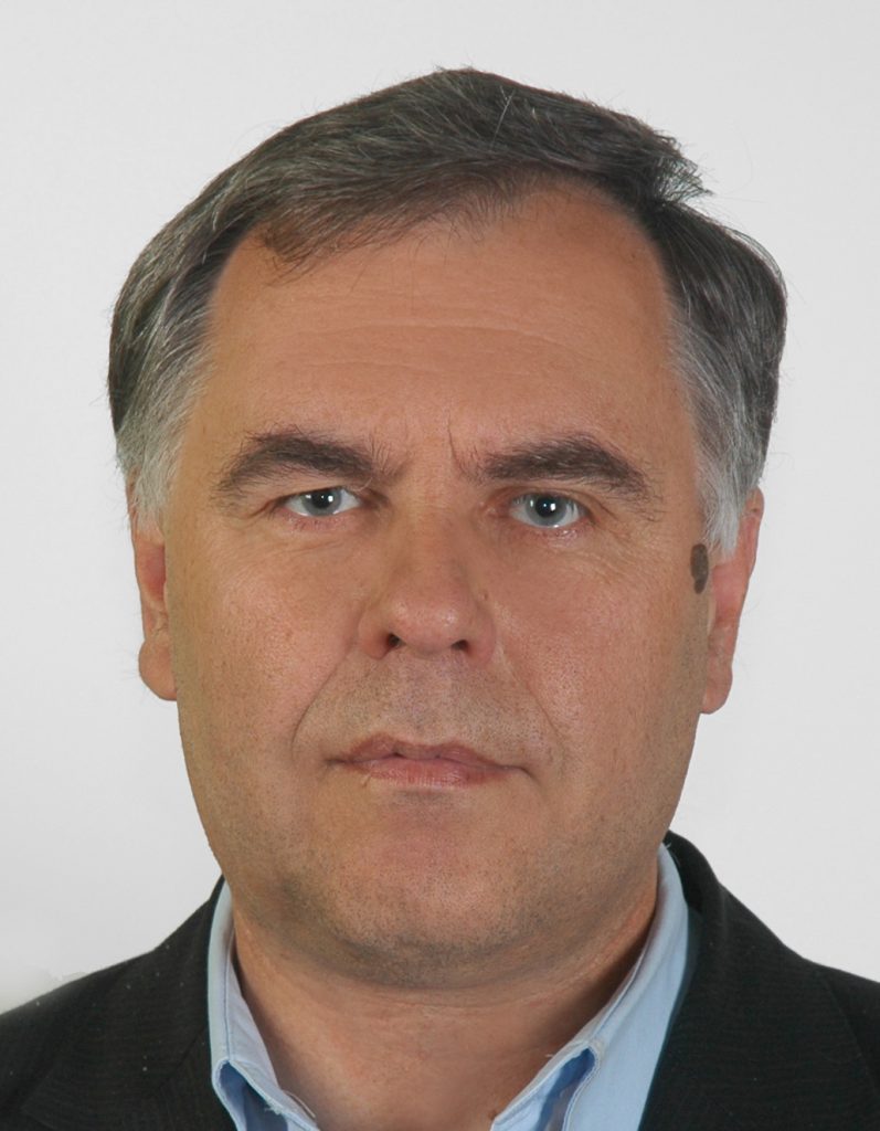
Michał Siwicki
Hi, I am the person behind the idea of MapCreating and the portal’s primary executor. As a cartographer and a graduate of geography studies, I have been creating maps since 1988. My interests are mountains and history.
Leszek Grzechnik
Hi, I am Leszek Grzechnik. In 1977, I graduated from geographical studies, majoring in cartography, at the Maria Curie-Skłodowska University in Lublin, where I worked for 42 years. I’ve been making maps for 45 years. I am interested in painting and traveling.
Krzysztof Kałamucki
Hi, my name is Krzysztof Kałamucki. I graduated in geography with a major in cartography in 1986. For 35 years, I have been working at the Maria Curie-Skłodowska University in Lublin. I teach students cartography and GIS.
Team:
Cartography and geography
Bartłomiej Grzechnik
Manfred Pustlauck
Computer Science and Geoinformatics
EnviroSolutions – Michał Włoga, Michał Bodura
Instytut Infrastruktury Informacji Przestrzennej – Bartłomiej Bielawski, Jakub Modrzewski, Andrzej Kwiecień
Lorienne SAS – Jean-Paul Dehette, Jérôme Dietlin, Didier Goldman, Adèle Raby
SoniqSoft – Artur Patała, Mateusz Wojtyński, Szymon Wałach, Wiktor Roś, Franciszek Bednorz, Błażej Nowik
Project financing
Objectives
The strategic objective is to carry out R&D work of creating IT solutions providing 100% automation in generating the highest-quality maps. As part of the strategy, we plan to achieve the following specific objectives:
* Developing and implementing market-innovative IT solutions providing 100% automation in the process of creating and producing maps;
* Expanding the company’s offer with activities in the field of administering a new innovative web portal;
* Ensuring the highest quality of generated maps;
* Adapting to customer needs and developing skills in using IT and telecommunications solutions and modern databases;
* Increasing the company’s competitiveness and building its image as an innovative company in the international market.
Effects
The project assumes creating a new technological process, Automatically generating maps on demand. Currently, maps are made with a computer by an editor, and there is not much automation involved. The result of this completely new technological process will consist in creating an improved product, i.e. a map including new features.
These features will include being the most up-to-date, direct and immediate availability of the map, strict adjustment to a customer’s individual needs, low price in relation to the quality, and worldwide availability. Customers expect cheap maps that are at the same time up-to-date and illustrative, i.e. with the proper appearance, legible and tailored to their needs. The new product will be widely available in geographical terms, also due to the low price and speed of acquisition.
Thus, professional maps will replace free ones everywhere where customers care about quality, adaptation to needs, and not violating map copyrights. Dissemination of good maps will take place.
General data
- project NO. – RPLU.01.02.00-06-0017/19;
- project value – PLN 2,180,697.25, including a contribution from European Funds – PLN 1,625,390.31 zł;
- implementation start: 1 July 2020, end: 30 September 2023.

