Contact – MapCreating addresses
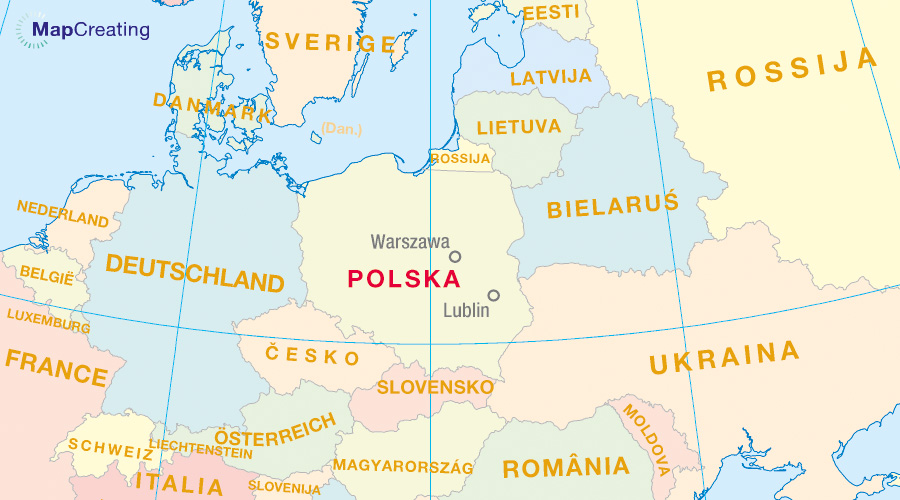
We are located in the European Union, in Poland and we are based in Warsaw and Lublin. Describe your issue pleaase as comprehensively as possible so that our answer can be more accurate. We will try to respond within 24 hours – on weekdays – but most often much faster. We always encourage you to browse through the FAQ and other Support tips.
Contact form
Company
Wydawnictwo Kartograficzne Polkart Michał Siwicki
ul. Batuty 1/406
02-743 Warszawa
Poland
ul. Dziewanny 5/8
20-539 Lublin
Poland
Regon: 145916235
Cooperation proposal
For printing houses
If:
- you are the owner of a digital printing house specialising in printing and finishing maps;
- you see the opportunity of expanding the area of delivery of printed maps with your range of activity;
We sincerely invite you to contact us! Perhaps we will be able to establish cooperation for the benefit of MapCreating users and both parties.
For specialists
If you are a scientist-geographer, cartographer, GIS engineer, official with access to a spatial database, or an interested person who sees the possibility of enriching the MapCreating project with new data or functionalities, we sincerely invite you. Perhaps it will be possible to implement new options in the portal together for the benefit of all and cartography.
There is also the option of taking advantage of MapCreating functionalities in producing topographic and thematic maps by interested national cartographic agencies. The portal is adapted to automatically generate maps from national spatial databases.

