Map examples– generated in MapCreating process
Thematic categories
In the course of personalisation, you can choose one of 15 thematic map categories, further modifying the map’s content density, manner, colour saturation, symbol size, and adjusting the layout of the entire piece to your needs. The map fragments below are just examples of what our maps stock offers; in fact, you can generate any custom map in any form. And you will get never-before-seen-map always.
- 1. Administrative map
- 2. Administrative and road map
- 3. General-purpose reference map
- 4. Railway map
- 5. Physical/ hypsometric map
- 6. Quasi-topographic map
- 7. City map
- 8. Hiking tourism map
- 9. Biking tourism map
- 10. Ski tourism map
- 11. Water tourism map
- 12. Nature conservation map
- 13. Base map
- 14. Satellite map
- 15. Landscape map
Administrative map
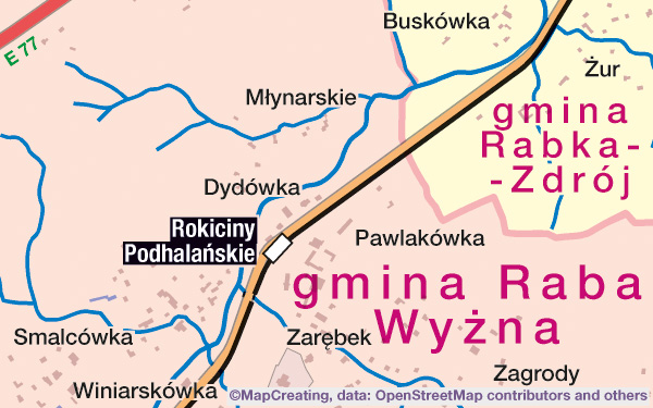
Administrative map, 1:45,000 scale, South Poland, mapcreating manner
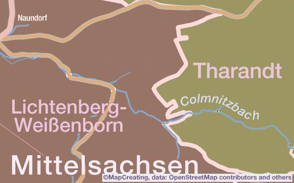
Administrative map, 1:100,000 scale, Germany, night manner
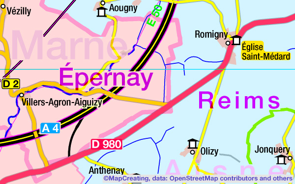
Administrative map, 1:200,000 scale, France, mapcreating manner, satur vivid (RGB only)
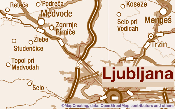
Administrative map, 1:450,000 scale, Slovenia, sepia manner, saturation typic
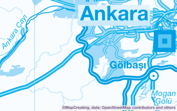
Administrative map, 1:900,000 scale, Türkiye, blue manner, saturation typic
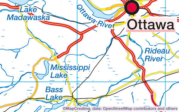
Administrative map, 1:2,000,000 scale, Canada, mapcreating manner, saturation typic
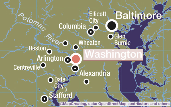
Administrative map, 1:4,000,000 scale, United States, night manner
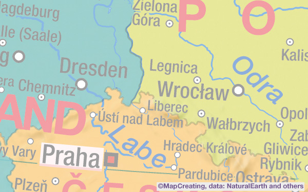
Political map, 1:8,000,000 scale, Poland, mapcreating manner, saturation light
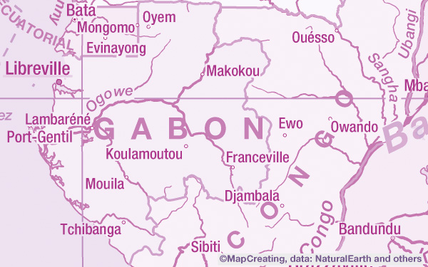
Political map, 1:20,000,000 scale, Gabon, purple manner
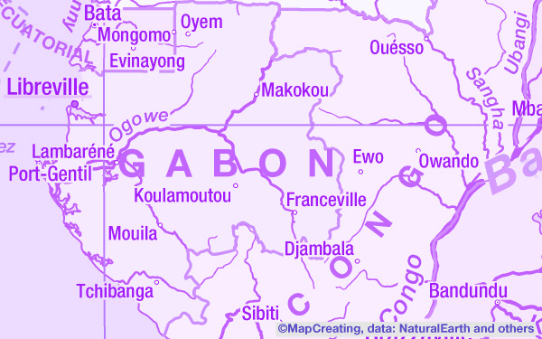
Political map, 1:20,000,000 scale, Gabon, purple manner, RGB
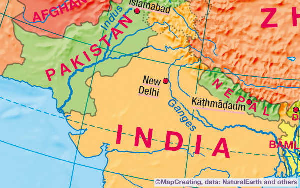
Political map, 1:50,000,000 scale, India, mapcreating manner, low density
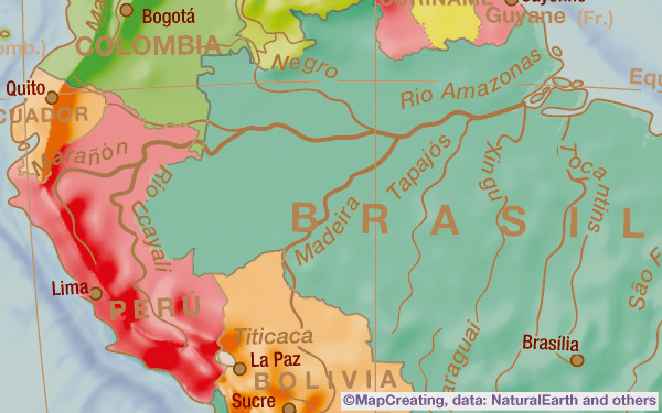
Political map, 1:75,000,000 scale, South America, sepia manner, high density
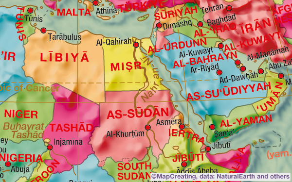
Political map, 1:100,000,000 scale, Near East, hot manner
Administrative and road map
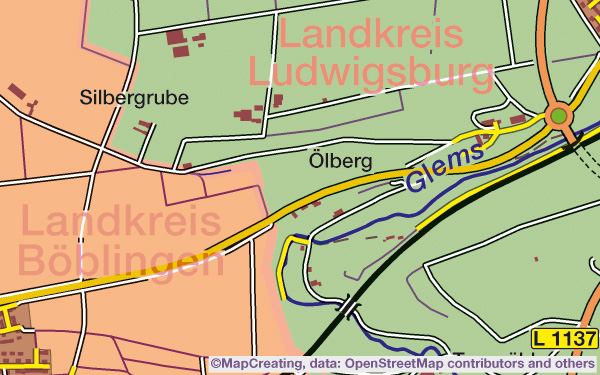
Administrative and road map, 1:45,000 scale, Germany, contrast manner
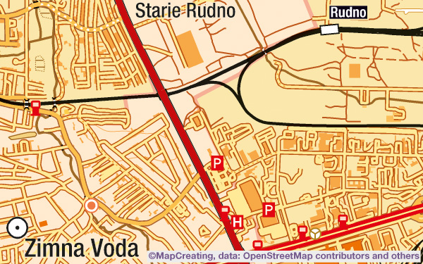
Administrative and road map, 1:100,000 scale, Ukraine, hot manner
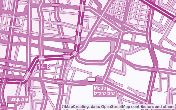
Administrative and road map, 1:200,000 scale, Mexico, purple manner
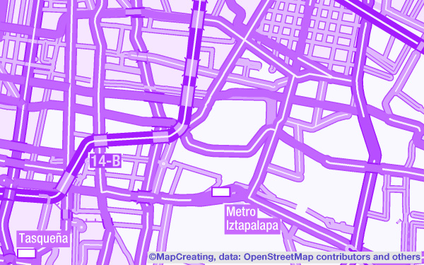
Administrative and road map, 1:200,000 scale, Mexico, purple manner (RGB only)
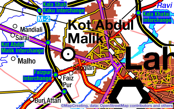
Administrative and road map, 1:450,000 scale, Pakistan, contrast manner
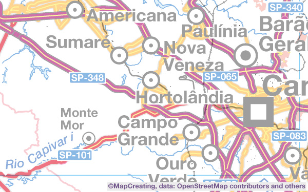
Administrative and road map, 1:900,000 scale, Brazil East, mapcreating manner, satur light
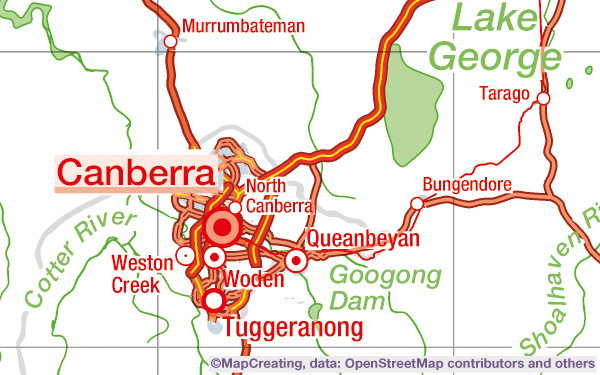
Administrative and road map, 1:2,000,000 scale, Australia, psychodelic manner, saturation typic
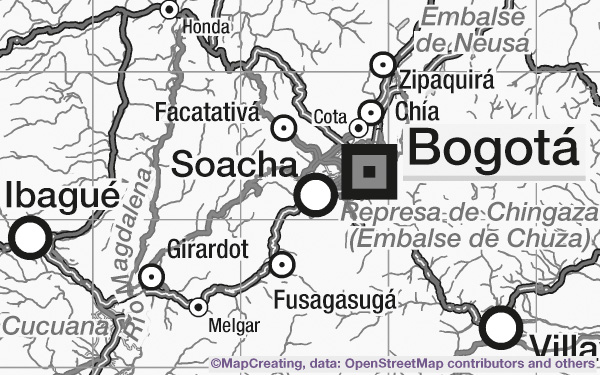
Administrative and road map, 1:4,000,000 scale, Colombia, grey manner, saturation typic
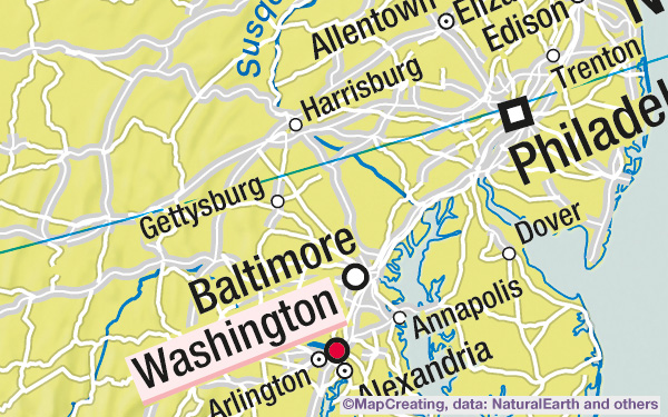
Political and road map, 1:8,000,000 scale, U.S.A. East, mapcreating manner
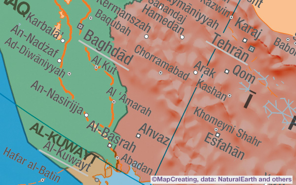
Political map, 1:20,000,000 scale, Iran, modernism manner
General-purpose reference map
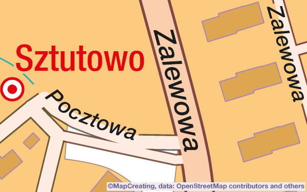
General-purpose reference map, 1:5,000 scale, Sztutowo, Poland, impressionism manner
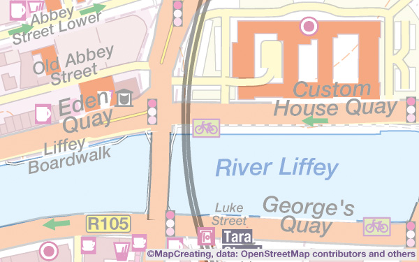
General-purpose map, 1:10,000 scale, Dublin, Ireland, mapcreating manner, saturation light
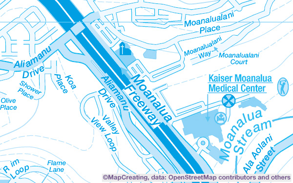
General-purpose reference map, 1:20,000 scale, Honolulu, U.S.A., blue manner
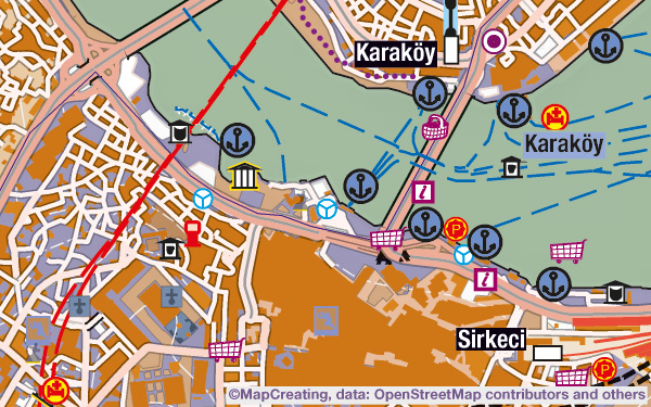
General-purpose reference map, 1:45,000 scale, İstanbul, Türkiye, classicism manner
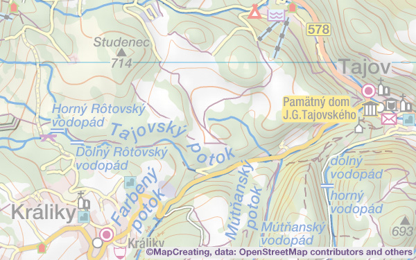
General-purpose reference map, 1:100,000 scale, Slovakia, mapcreating manner, satur light
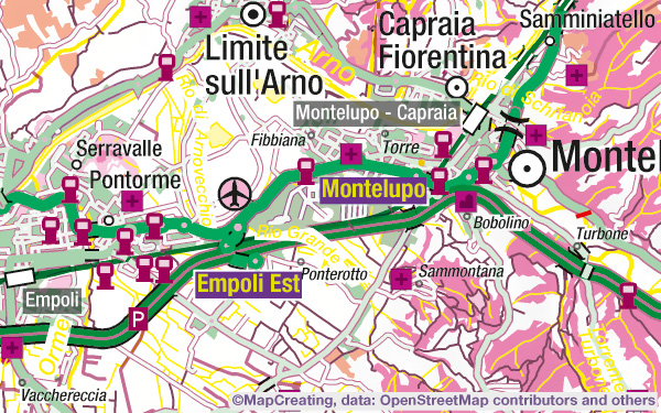
General-purpose reference map, 1:200,000 scale, Italy, pop-art manner
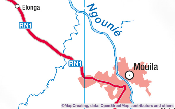
General-purpose reference map, 1:450,000 scale, Gabon Ngounie, mapcreating manner, satur typic
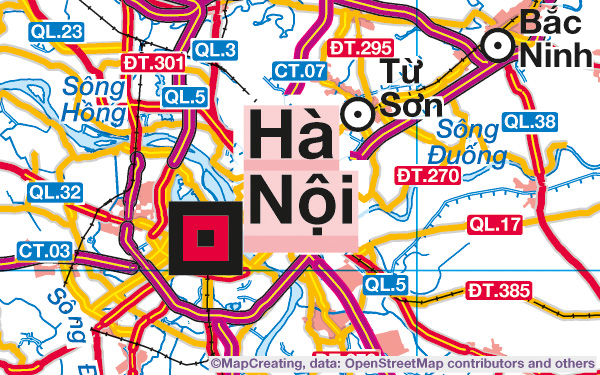
General-purpose reference map, 1:900,000 scale, Vietnam, mapcreating manner, satur typic
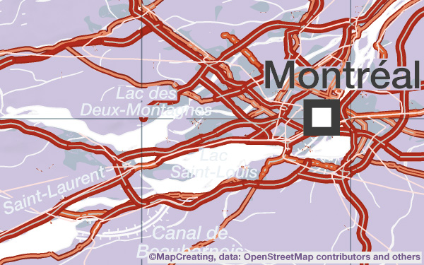
General-purpose reference map, 1:2,000,000 scale, Canada, colours of cubism manner
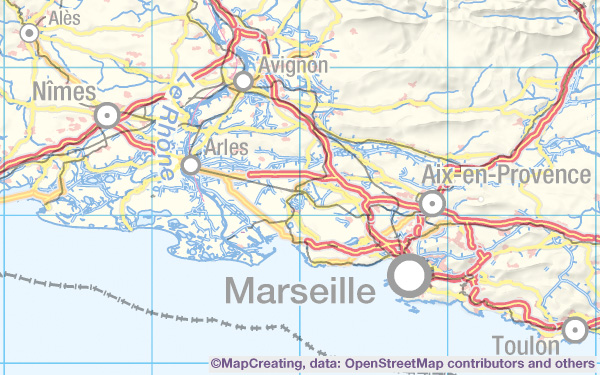
General-purpose reference map, 1:4,000,000 scale, France, mapcreating manner, satur light
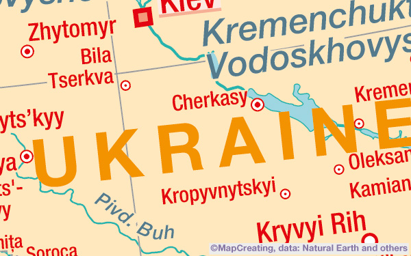
General-purpose reference map, 1:8,000,000 scale, Ukraine, impressionism manner
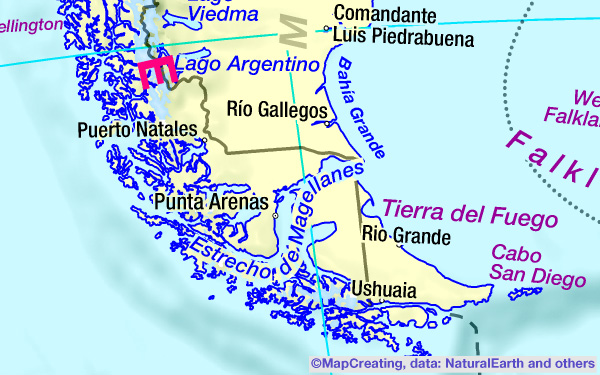
General-purpose map, 1:20,000,000 scale, Tierra del Fuego, Argentina, saturation vivid
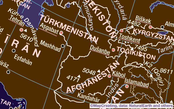
General-purpose reference map, 1:50,000,000 scale, Afghanistan, night manner
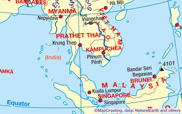
General-purpose map, 1:75,000,000 scale, Malaysia, mapcreating manner, saturation heavy
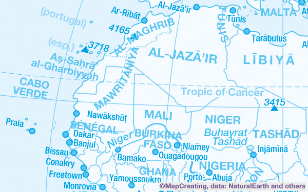
General-purpose reference map, 1:100,000,000 scale, West Africa, blue manner
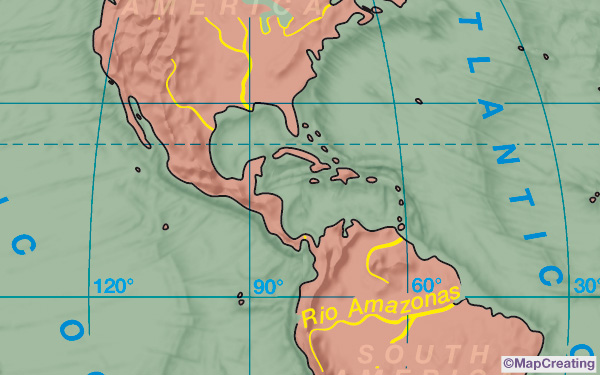
General map, 1:200,000,000 scale, Americas centered map of the World, classical manner
Railway map
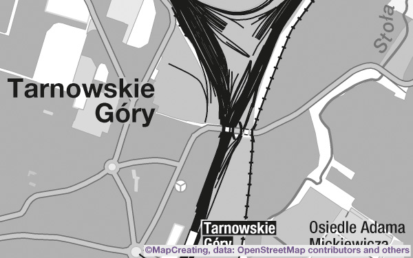
Railway map, 1:45,000 scale, Tarnowskie Góry, Poland, grey manner
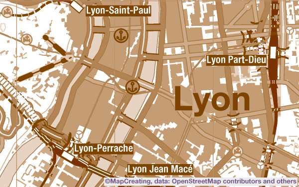
Railway map, 1:100,000 scale, Lyon, France, sepia manner, high density
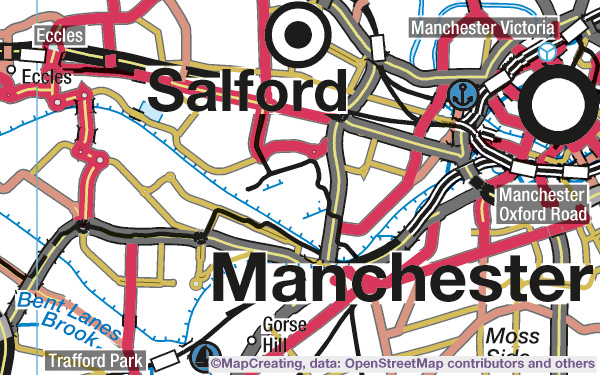
Railway map, 1:200,000 scale, Manchester, United Kingdom, cold manner
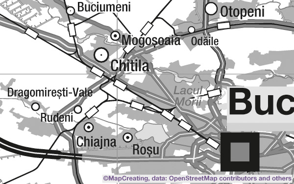
Railway map, 1:450,000 scale, Romania, grey manner
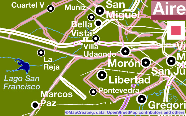
Railway map, 1:900,000 scale, Argentina, night manner, saturation typic
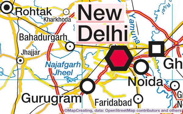
Railway map, 1:2,000,000 scale, India, mapcreating manner, saturation typic
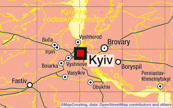
Railway map, 1:4,000,000 scale, Ukraine, pop-art manner, saturation typic
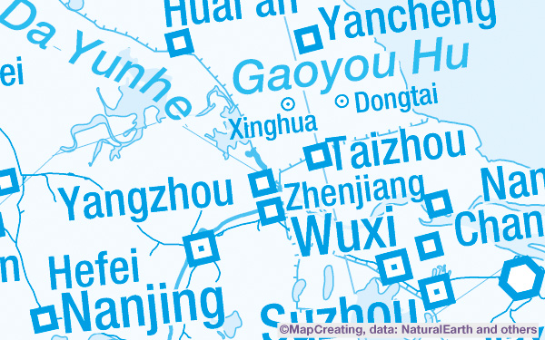
Railway map, 1:8,000,000 scale, China, blue manner
Physical/ hypsometric map
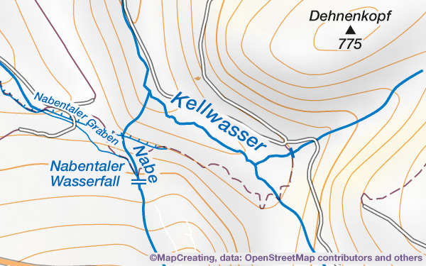
Physical map, 1:45,000 scale, Harz Mountains, Germany, mapcreating manner
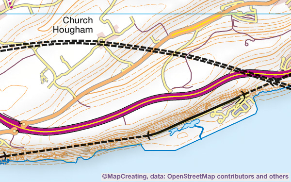
Physical map, 1:100,000 scale, Devon, United Kingdom, mapcreating manner
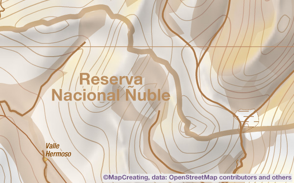
Physical map, 1:200,000 scale, Andes, Chile, sepia manner, saturation typic
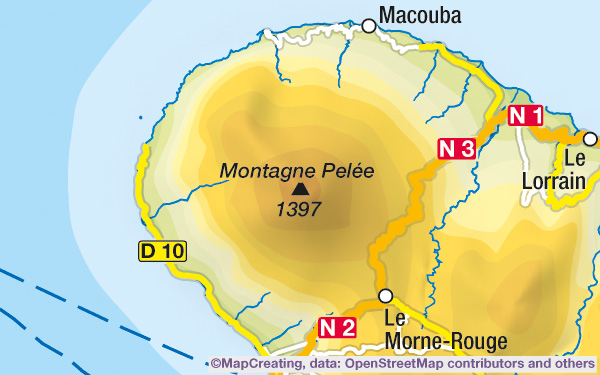
Physical map, 1:450,000 scale, Martinique, mapcreating manner, saturation typic
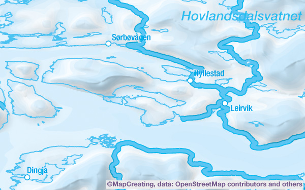
Physical map, 1:900,000 scale, Norway West, blue manner, saturation typic
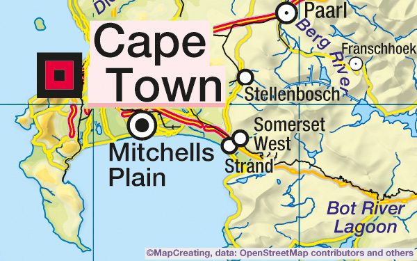
Physical map, 1:2,000,000 scale, South Africa, mapcreating manner, saturation heavy
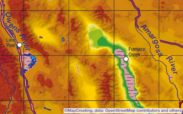
Physical map, 1:4,000,000 scale, Death Valley, United States, contrast manner
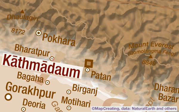
Physical/ hypsometric map, 1:8,000,000 scale, Himalayas, sepia manner
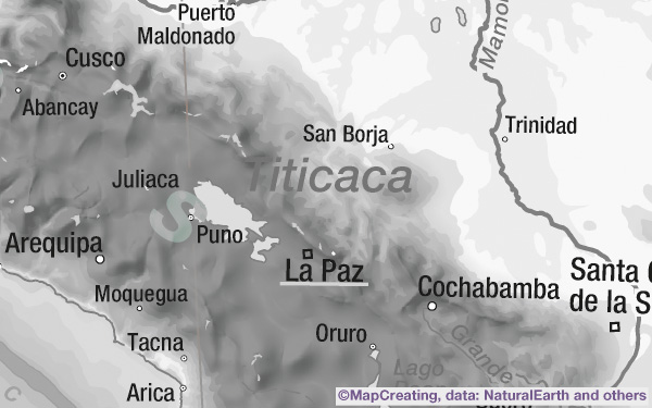
Physical/ hypsometric map, 1:20,000,000 scale, Andes, grey manner
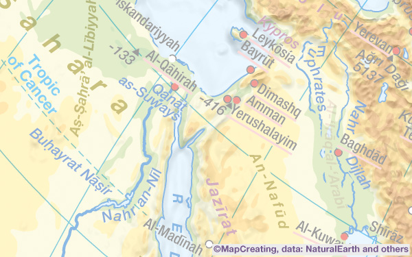
Physical/ hypsometric map, 1:50,000,000 scale, Near East, mapcreating manner, saturation light
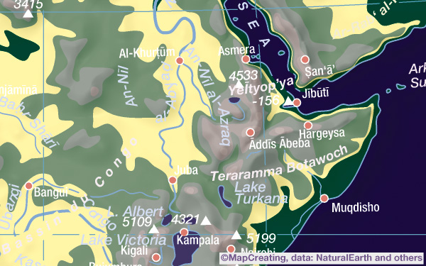
Physical/ hypsometric map, 1:75,000,000 scale, East Africa, night manner
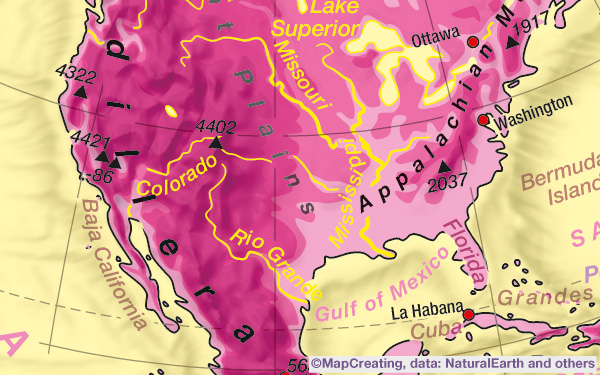
Physical/ hypsometric map, 1:100,000,000 scale, North America, pop-art manner
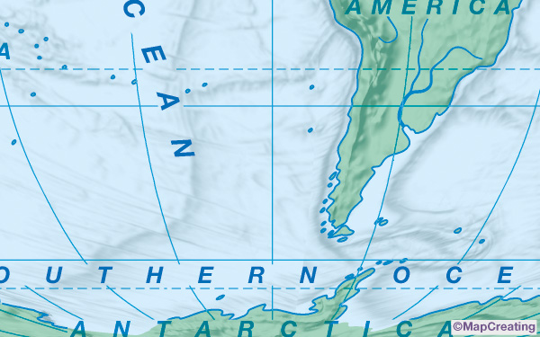
Physical map, 1:200,000,000 scale, Americas centered map of the World, cold manner
Quasi-topographic map
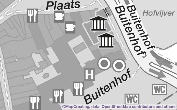
Quasi topographic map, 1:5,000 scale, The Hague, Netherlands, grey manner
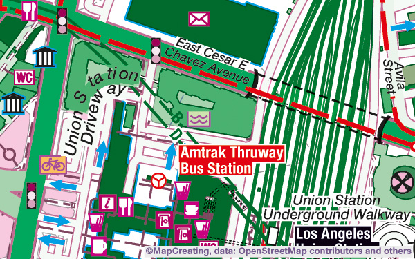
Quasi topographic map, 1:10,000 scale, Los Angeles, U.S.A., pop-art manner
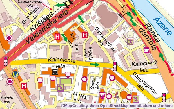
Quasi topographic map, 1:20,000 scale, Riga, Latvia, mapcreating manner, high density
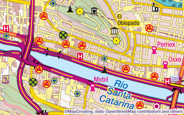
Quasi topographic map, 1:45,000 scale, Monterrey, Mexico, mapcreating manner
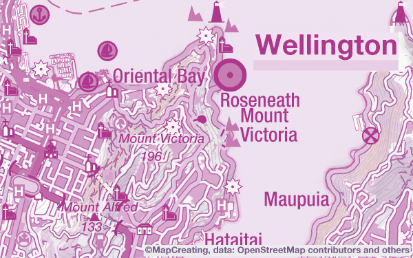
Quasi topographic map, 1:100,000 scale, Wellington, New Zealand, purple manner
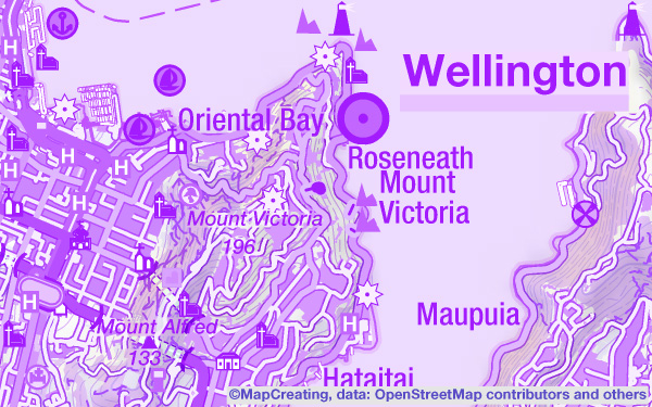
Quasi topographic map, 1:100,000 scale, Wellington, New Zealand, purple manner (RGB)
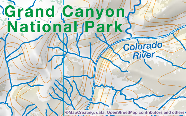
Quasi topographic map, 1:200,000 scale, Grand Canyon, United States, mapcreating manner
City map
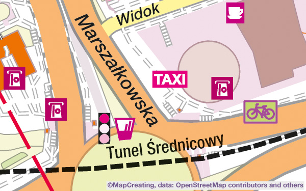
City map, 1:5,000 scale, Warsaw, Poland, mapcreating manner
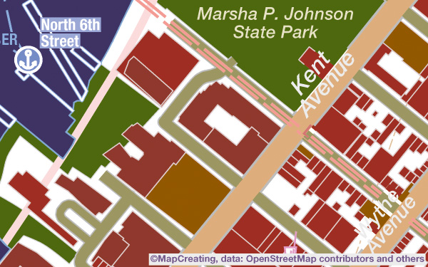
City map, 1:10,000 scale, New York, U.S.A., night manner, low density
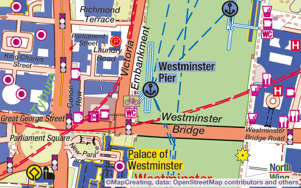
City map, 1:20,000 scale, London, United Kingdom, psychodelic manner
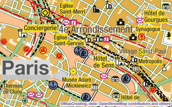
City map, 1:45,000 scale, Paris, France, modernism manner
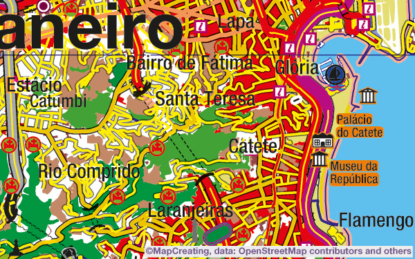
City map, 1:100,000 scale, Rio de Janeiro, Brazil, contrast manner
Hiking tourism map
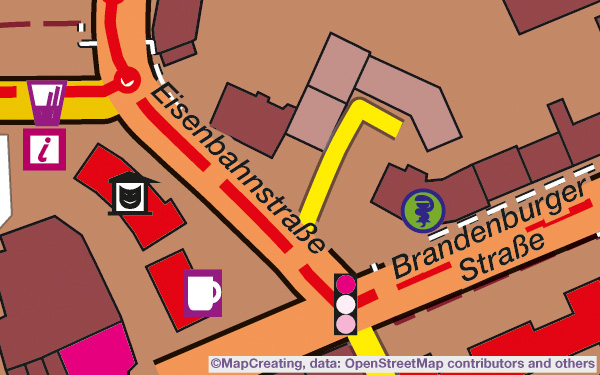
Hiking tourism map, 1:5,000 scale, Werder, Germany, contrast manner
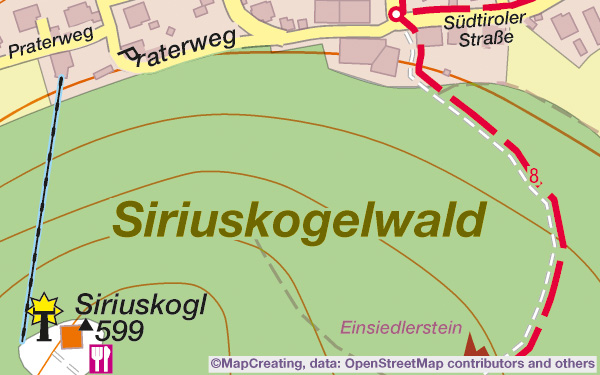
Hiking tourism map, 1:10,000 scale, Alps, Austria, mapcreating manner, saturation heavy
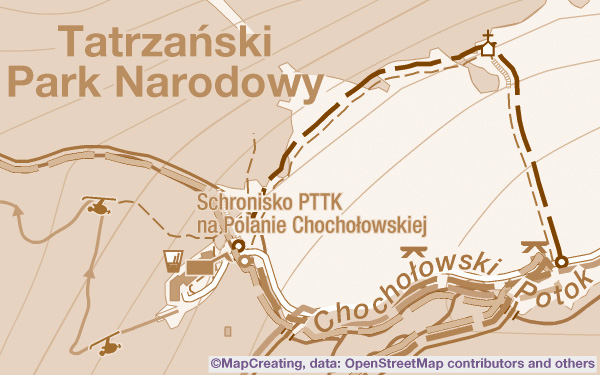
Hiking tourism map, 1:20,000 scale, Tatra Mountains, Poland, sepia manner
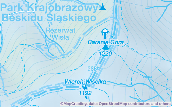
Hiking tourism map, 1:45,000 scale, Barania Góra, Poland, blue manner
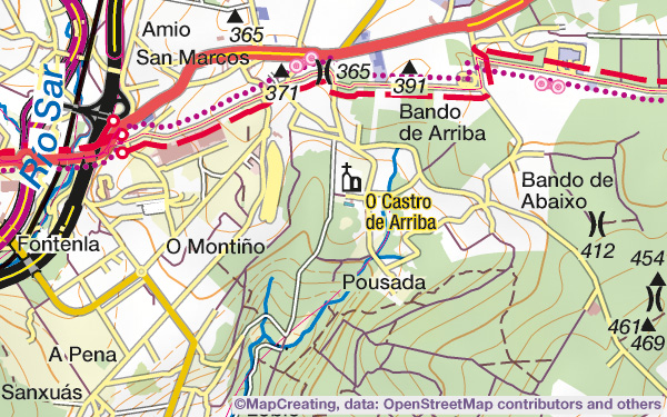
Hiking tourism map, 1:100,000 scale, Spain, mapcreating manner, low density
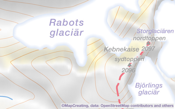
Hiking tourism map, 1:200,000 scale, Kungsleden, Sweden, saturation light
Biking tourism map
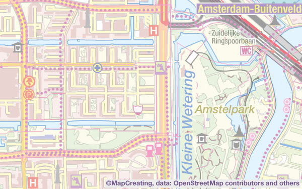
Biking tourism map, 1:45,000 scale, Amsterdam, Netherlands, saturation light
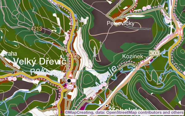
Biking tourism map, 1:100,000 scale, Czechia, night manner
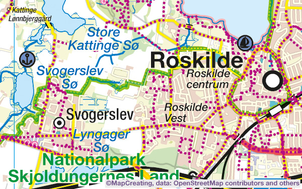
Biking tourism map, 1:200,000 scale, Roskilde, Denmark, mapcreating manner
Ski tourism map
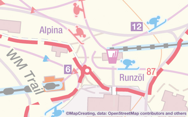
Ski tourism map, 1:5,000 scale, Switzerland, mapcreating manner, saturation light
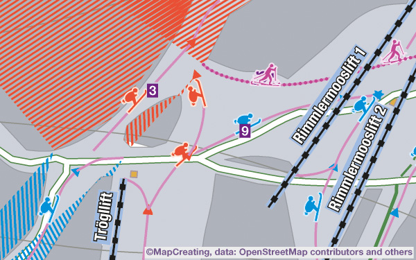
Ski tourism map, 1:10,000 scale, Alps, Germany, modernism manner
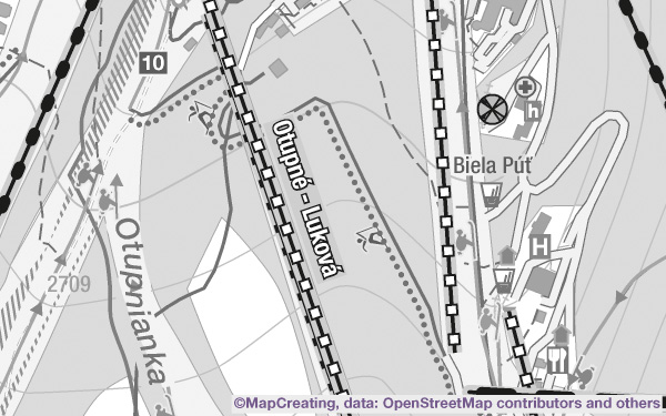
Ski tourism map, 1:20,000 scale, Jasná, Slovakia, grey manner
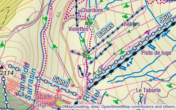
Ski tourism map, 1:45,000 scale, Alps, France, mapcreating manner
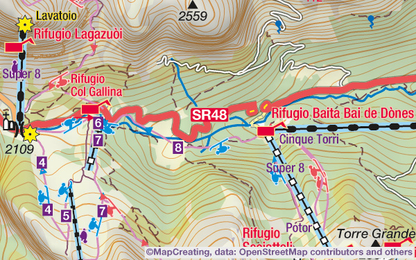
Ski tourism map, 1:100,000 scale, Alps, Italy, mapcreating manner
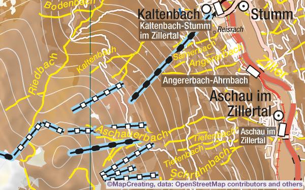
Ski tourism map, 1:200,000 scale, Alps, Austria, classicism manner
Water tourism map
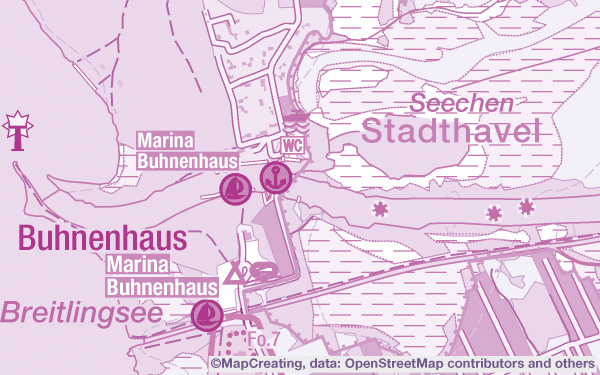
Water tourism map, 1:45,000 scale, Germany, purple manner
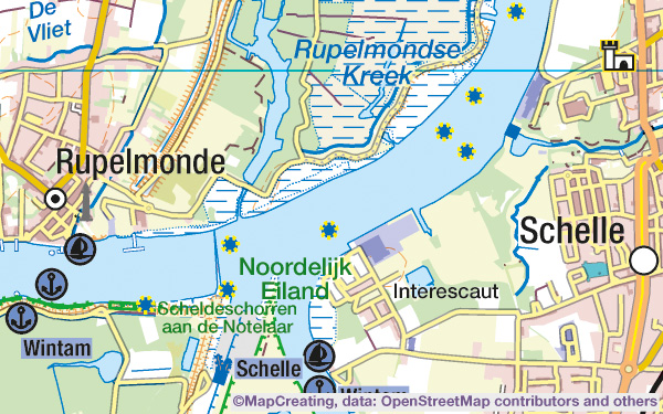
Water tourism map, 1:100,000 scale, Belgium, mapcreating manner
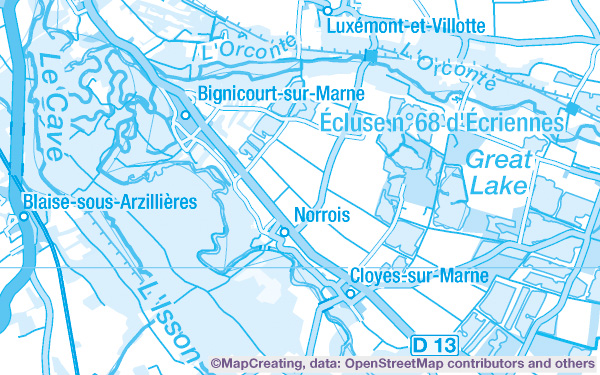
Water tourism map, 1:200,000 scale, France, blue manner
Nature conservation map
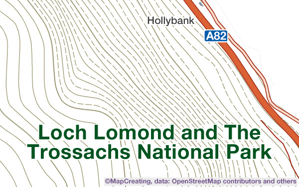
Nature conservation map, 1:45,000 scale, United Kingdom, colours of cubism manner
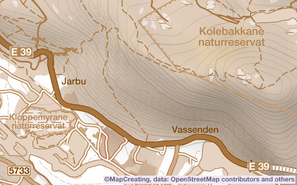
Nature conservation map, 1:100,000 scale, Norway, sepia manner
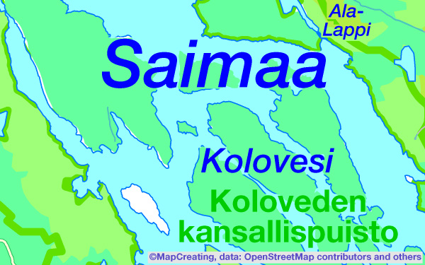
Nature conservation map, 1:200,000 scale, Finland, saturation heavy (RGB)
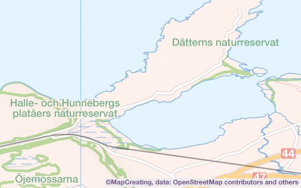
Nature conservation map, 1:450,000 scale, Sweden, mapcreating manner, saturation light
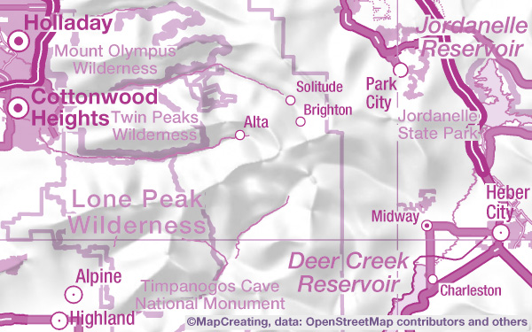
Nature conservation map, 1:900,000 scale, United States, purple manner, high density
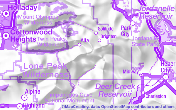
Nature conservation map, 1:900,000 scale, United States, purple manner, high density, RGB
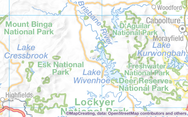
Nature conservation map, 1:2,000,000 scale, Australia, mapcreating manner, saturation light
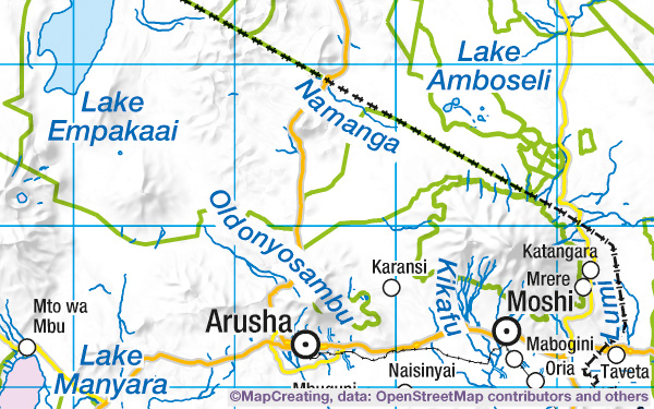
Nature conservation map, 1:4,000,000 scale, Tanzania, mapcreating manner, saturation typic
Base map
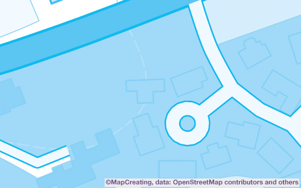
Base map, 1:5,000 scale, Bathgate, United Kingdom, blue manner
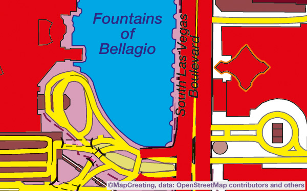
Base map, 1:10,000 scale, Las Vegas, United States, contrast manner
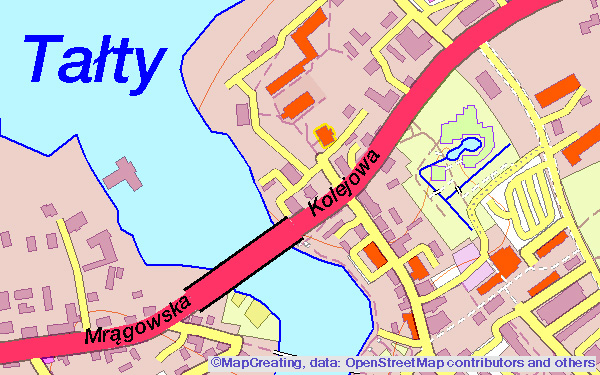
Base map, 1:20,000 scale, Mikołajki, Poland, mapcreating manner, saturation vivid (RGB only)
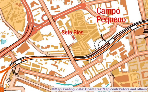
Base map, 1:45,000 scale, Lisbon, Portugal, impressionism manner
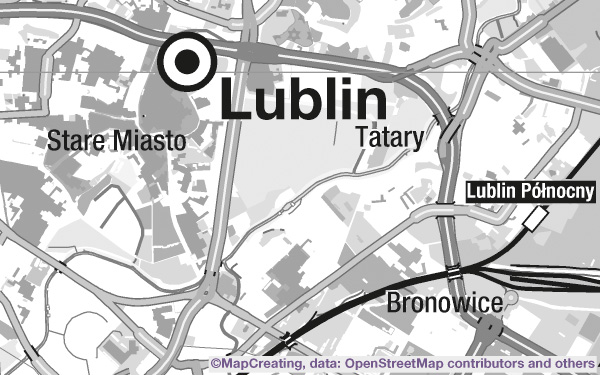
Base map, 1:100,000 scale, Lublin, Poland, grey manner
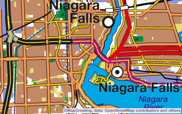
Base map, 1:200,000 scale, Niagara Falls, United States/ Canada, contrast manner
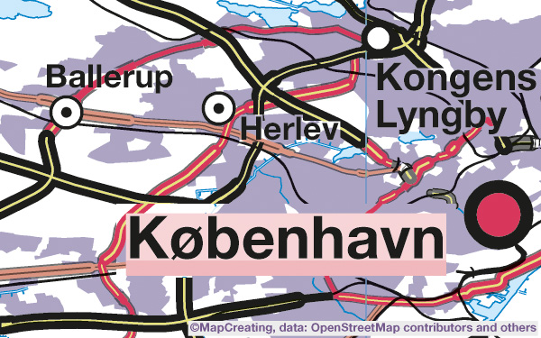
Base map, 1:450,000 scale, Denmark, cold manner, saturation typic
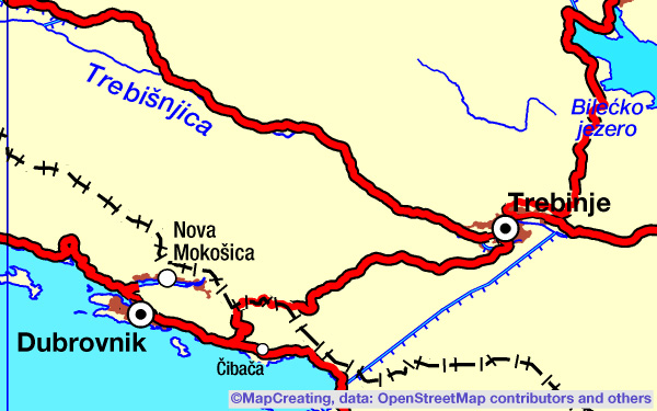
Base map, 1:900,000 scale, Croatia, contrast manner
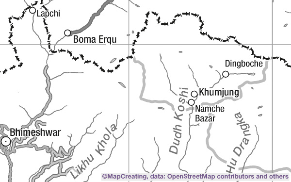
Base map, 1:2,000,000 scale, Nepal, grey manner, saturation typic
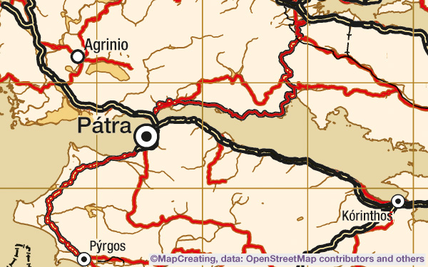
Base map, 1:4,000,000 scale, Greece, hot manner, saturation typic
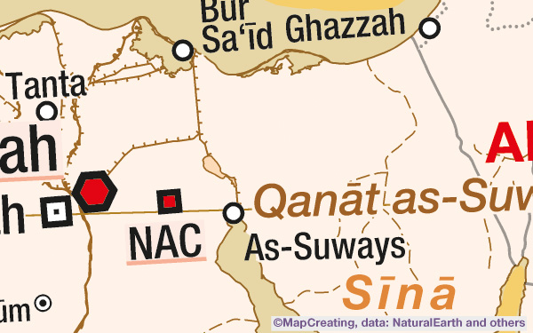
Base map, 1:8,000,000 scale, Egipt, hot manner
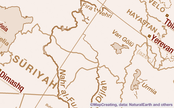
Base map, 1:20,000,000 scale, Near East, sepia manner
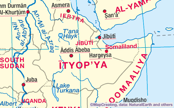
Base map, 1:50,000,000 scale, Ethiopia, mapcreating manner
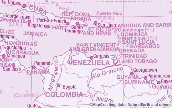
Base map, 1:75,000,000 scale, Caribbean, purple manner
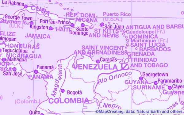
Base map, 1:75,000,000 scale, Caribbean, purple manner (RGB only)
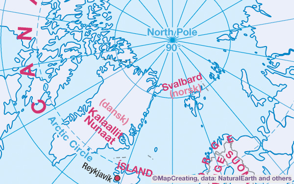
Base map, 1:100,000,000 scale, Arctica, cold manner
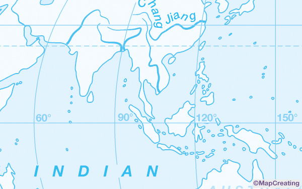
Base map, 1:200,000,000 scale, Asia and Australia centered map of the World, blue
Satellite map
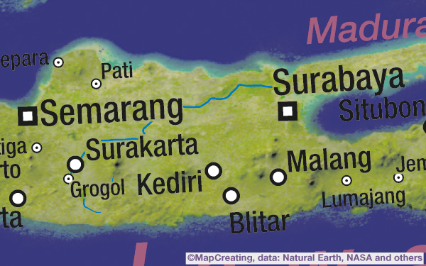
Satellite map, 1:8,000,000 scale, Indonesia, mapcreating manner, heavy density
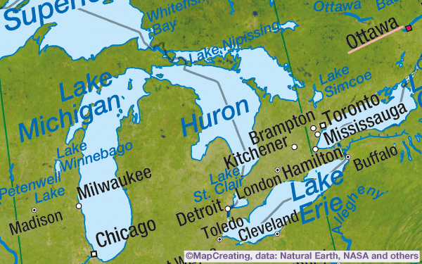
Satellite map, 1:20,000,000 scale, Great Lakes, Canada/ USA, mapcreating manner
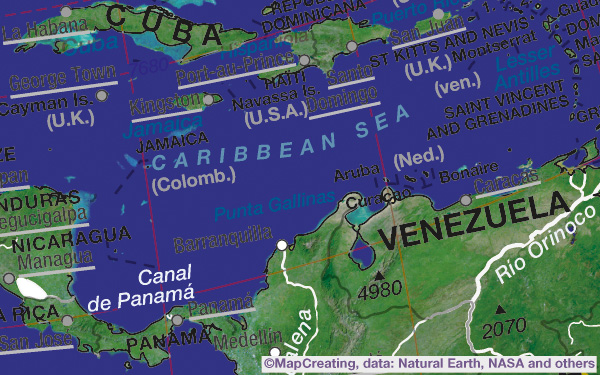
Satellite map, 1:50,000,000 scale, Caribbean, colours of cubism manner
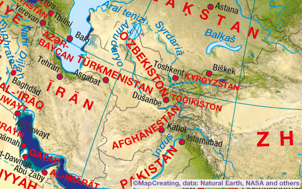
Satellite map, 1:75,000,000 scale, Kazakhstan, mapcreating manner
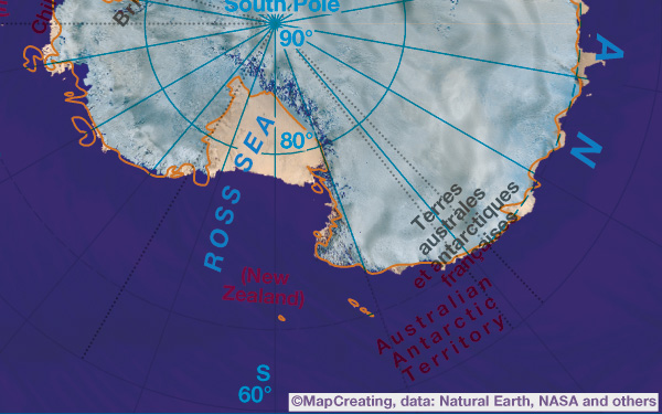
Satellite map, 1:100,000,000 scale, Antarctica, modernism manner
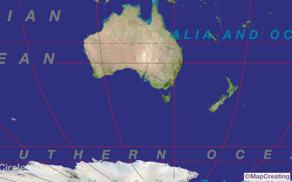
Satellite map, 1:200,000,000 scale, Asia and Australia centered map of the World, grey
Landscape map
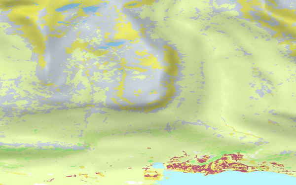
Landscape map, 1:45,000 scale, Iceland, mapcreating manner, heavy density
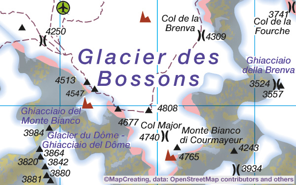
Landscape map, 1:100,000 scale, Mont Blanc, France/ Italy, mapcreating manner
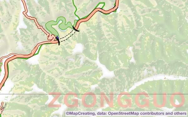
Landscape map, 1:200,000 scale, China, psychodelic manner
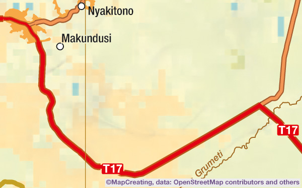
Landscape map, 1:450,000 scale, Tanzania, hot manner, low density
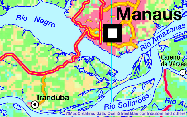
Landscape map, 1:900,000 scale, Brazil, mapcreating manner, saturation vivid
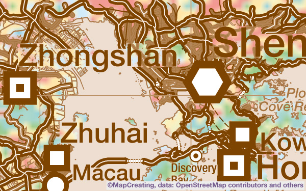
Landscape map, 1:2,000,000 scale, China, sepia manner, saturation typic
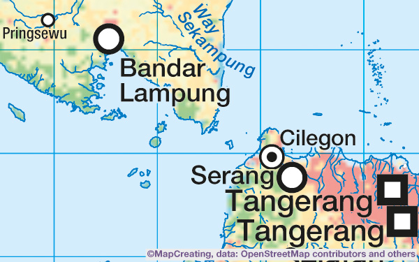
Landscape map, 1:4,000,000 scale, Indonesia, mapcreating manner, saturation typic
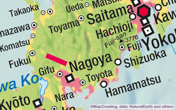
Landscape map, 1:8,000,000 scale, Japan, mapcreating manner, saturation typic
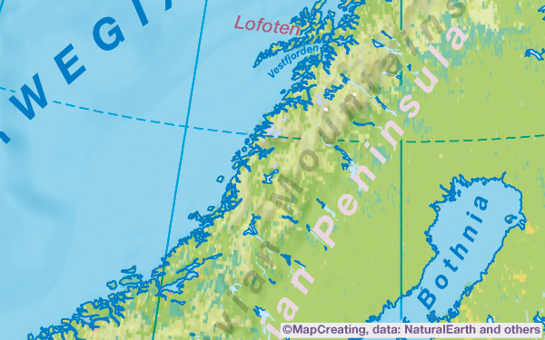
Landscape map, 1:20,000,000 scale, Northern Europe, mapcreating manner
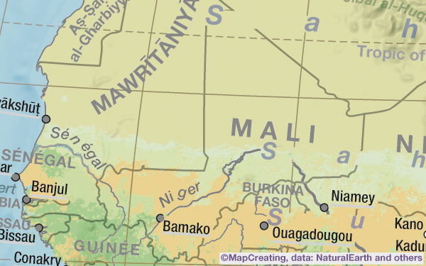
Landscape map, 1:50,000,000 scale, Mali, grey manner
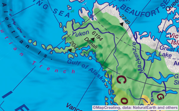
Landscape map, 1:75,000,000 scale, Alaska, United States, contrast manner
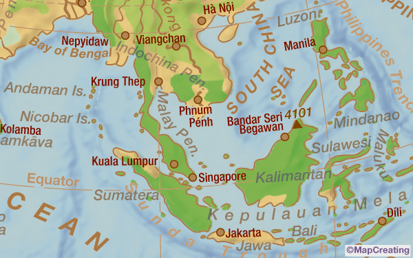
Landscape map, 1:100,000,000 scale, Southern Asia, sepia manner
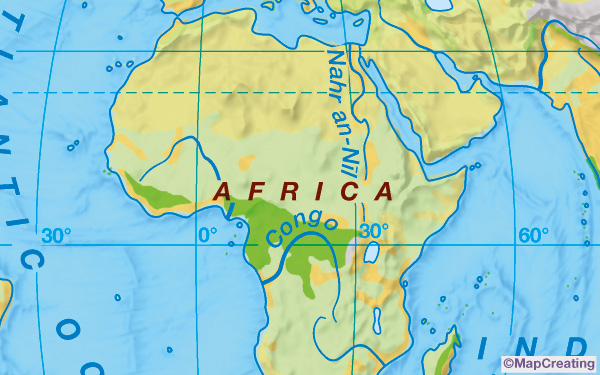
Landscape map, 1:200,000,000 scale, Europe and Africa centered map of the World
Do you already know how to create your first custom map? That's great, let's get started!
Examples of little bit useless maps
Sometimes it may happen that the generated map will not be successful, or you find it to be little bit useless. There may be various reasons – some of them are described in FAQ, which is why we strongly encourage you to always carefully view the map’s draft image, preferably using a magnifying glass.
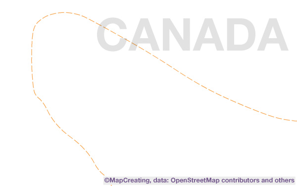
Despite the constant work of OpenStreetMap editors, many areas of the world are still not exactly mapped. In this case – map in 1:45,000 scale from Canada – we recommend that you enable the landscape image layer (available in a future) in the advanced tab
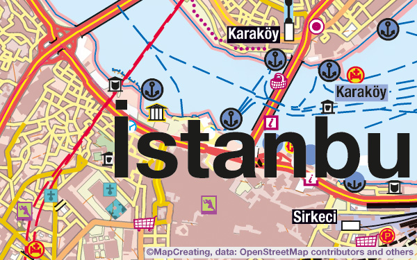
Despite our efforts to make the process run flawlessly, errors may sometimes appear, as with the name of the city on this map in 1:45,000 scale of Istanbul in Türkiye. If this is unacceptable to you, send us a message – perhaps we will be able to help.
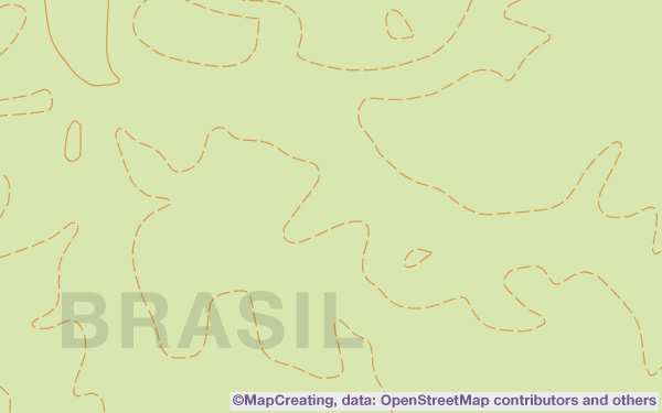
Not much is happening in this area – Selva in Brazil on 1:45,000 scale map – so even in the future, it's hard to expect a large amount of data on the map.
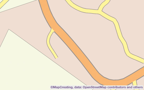
There is also very little information here – 1:10,000 scale map of Tchibanga in Gabon. If you want to quickly find out if the OpenStreetMap database contains the data you are interested in, check the source at https://www.openstreetmap.org. There, you will see all the background information.
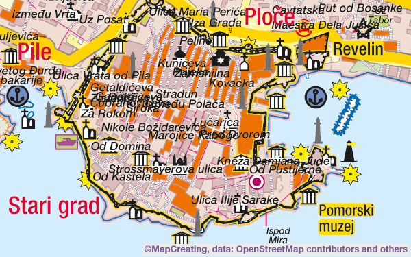
Automatic selection of content layers did not work properly. It's a map in 1:20,000 scale of Dubrovnik in Croatia. Try to remove or add something in the advanced tab; in this case, it is worth disabling minor/ other street names. This is precisely how custom maps are created.
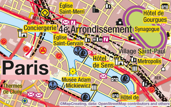
Despite our efforts to make the process run perfect, errors may sometimes appear, as with the stadium symbol on this map in 1:45,000 scale of Paris in France. If this is unacceptable to you, send us a message – perhaps we will be able to help on any way.
Free sample maps
Free maps posted below are provided under a free licence. They have been generated automatically in the MapCreating portal and slightly revised manually, you can use them for any purpose. We add one new map every month
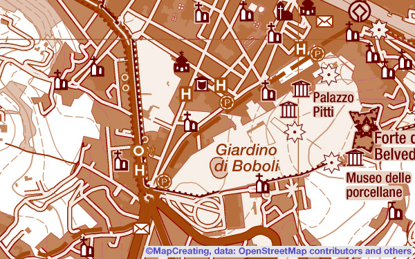
Map of Florence in 1:45,000 scale, made in sepia manner. A4 size, pdf, CMYK, 300 dpi, 13 MB
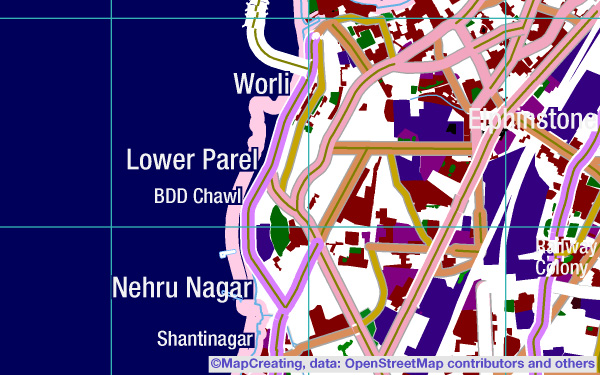
Map of Mumbai in 1:100,000 scale, made in night manner. B3 size, pdf, RGB, 300 dpi, 26 MB
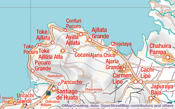
Map of Lake Titicaca in 1:250,000 scale, impressionism. A0 size, tiff, CMYK, 600 dpi, 217 MB
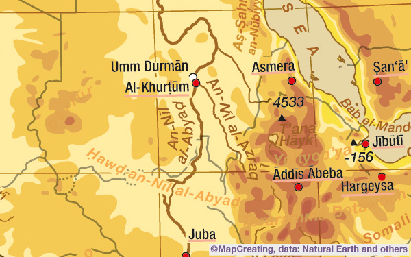
Map of Africa in 1:50,000,000 scale, made in hot manner. 23 x 18 cm/ 9.06 x 7.09", encapsulated pdf, layers, RGB, 19 MB
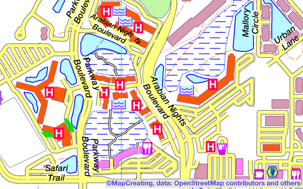
Map of Walt Disney World Resort Florida in 1:20,000 scale, vivid brightness. ANSI E size, jpg, RGB, 300 dpi, 34 MB
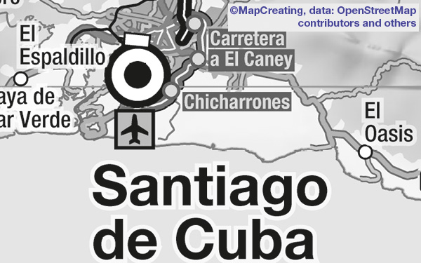
Map of Cuba in 1:550,000 scale, grayscale manner. Size 254 x 100 cm/ 100" x 39.37", pdf, CMYK, 300 dpi, 44 MB
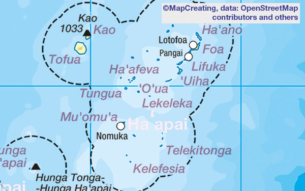
Map of Tonga in 1:4,000,000 scale, mapcreating manner. Size 20.4 x 29.1 cm/ 8.03" x 11.46", pdf, CMYK, 300 dpi, 5.7 MB