In the gallery of Free sample maps, we have provided an overview map of Lake Titicaca on the border of Peru and Bolivia for anyone interested.
Its distinguishing feature is its very high technical quality, resulting from the 600 dpi resolution used and the lossless tiff format. The map was generated automatically in special quality mode.
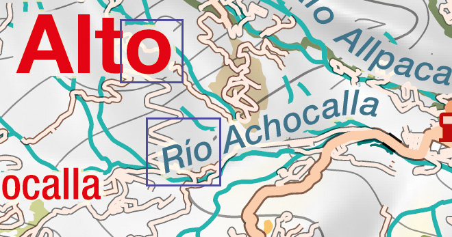
Artistic hill shading diversifies the content; it has been slightly corrected by the cartographer editor.
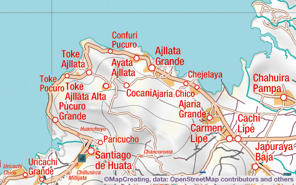
Although the map contains a lot of information, it is still illustrative. At this scale, you can show everything that is important in the immediate vicinity of the lake. There is a complete network of roads and rivers, ports and airports, bus stations and border crossings. The map is ideal for planning all activities on and around the lake. It can be printed and used in the field as a tourist map, it can be hang on the wall in the office and also as an information board outside.
At first glance, you can see on the map that Titicaca is a huge lake – the administrative capital of Bolivia, La Paz, is tiny next to it. Hill shading shows that the areas to the west of the lake are highlands, while to the east there are mighty mountains with glaciers. There is characteristic forestation only on the eastern slopes of the Andes, where moisture reaches all the way from the Atlantic Ocean, while in the west the air is dry. The national border runs through the middle of Titicaca and its smaller part, Wiñaymarca. There are many ports marked on the shore of the lake, but La Paz is located about 50 km from it. When we move further away from the lake, 15–20 miles, it becomes very empty. Studying such a map can greatly expand our knowledge of the region.