In the gallery of Free sample maps, we have provided an overview map of Mumbai at a scale of 1:100,000 for anyone interested. Its distinguishing feature is the night manner of the map. The colors are “inverted” to some extent, in line with the rules for viewing images in the dark.
This plan is up-to-date as on 2023 year, naturally greatly generalised due to the relatively small scale and the night manner, which makes reading the content difficult. We encourage you to familiarize yourself with this method and generate maps in this night manner. The map was generated automatically and slightly modified manually by the cartographer editor.
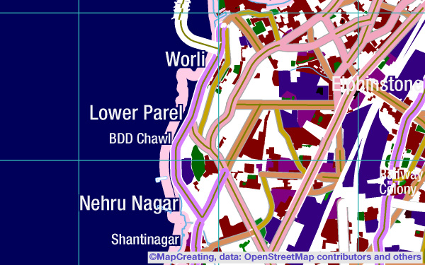
The city map is dominated by a dense network of roads, the brighter the higher the rank. The highways and railway lines are completely white. The forested areas and many wetlands with horizontal lines are dark. Most names are very legible, but symbols are rather blended into the background.
You can see on the map, that characteristic feature of Mumbai is its location on a peninsula. There are many wetlands along the coastline; in the northern part of the city, on the hills, there is a forested Sanjay Gandhi National Park. All the major roads and railway lines converge on the peninsula. In the central part of the city you can see the airport, and the extensive port is not located on the ocean, but at the bay. The map legend emphasizes the explanation of the religious affiliation of the temples, they belong to at least 8 denominations. The concentration of geographical phenomena in Mumbai is impressive. Studying such a map can greatly expand our knowledge of the city.